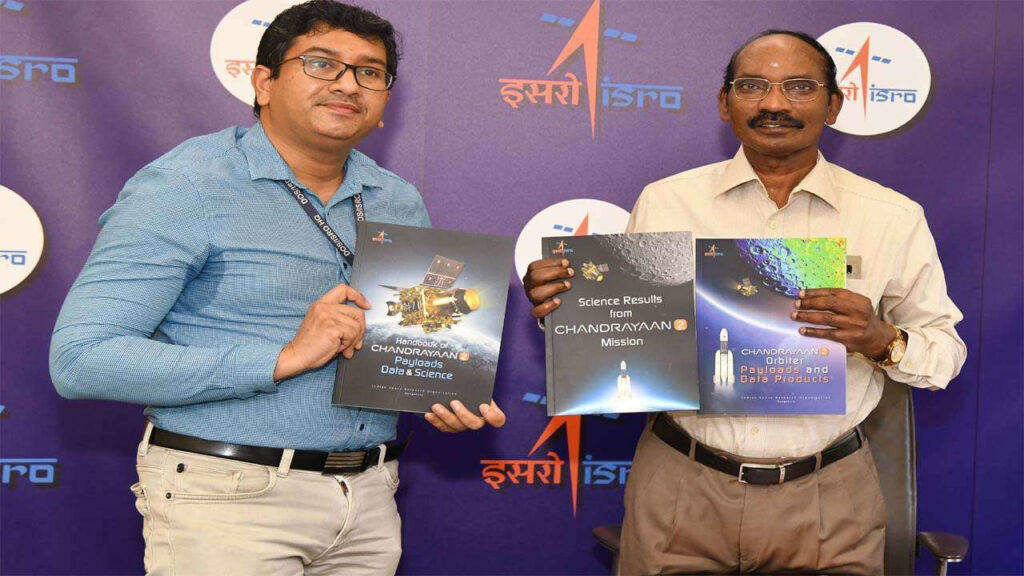
As part of a two-day moon science workshop, data from ISRO’s Chandrayaan-2 mission revealed water ice was detected on the Moon. There is no doubt there is water ice present in the permanently shadowed regions of the Moon as detected by one of the eight payloads of Chandrayaan-2.

Based on the initial analyses of the imaging infrared spectrometer (IIRS), lunar hydration appears widespread and water is unambiguously detected on the Moon. Among the co-authors of the paper published in Current Science is A S Kiran Kumar, former chairman of the Indian Space Research Organization (ISRO).
Chandrayaan-2 carries a spectrometry imaging infrared system (IIRS). Scientists use the satellite to collect data at 100 km altitude around the globe.
The report said that plagioclase-rich rocks have a higher OH (hydroxyl) concentration, or perhaps water (H2O) molecules, than mare regions, which had a higher concentration of OH near higher surface temperatures.

In addition, since Chandrayaan-2 failed to produce desired results, this development assumes significance. Due to the lack of sunlight reaching permanently shadowed regions (PSRs), images of these areas have been difficult to obtain.
ISRO chairperson K Sivan’s statement
Due to similar sensitivity to surface roughness, polarimetric SAR data was able to detect water ice regions in earlier studies, but this approach failed to locate water ice regions.
A full polarimetric DFSAR can decouple water ice from surface roughness by using electrical properties measurements.
There may also exist patches of ‘dirty ice’ within Cabeaus crater at the lunar south pole, according to the radar instrument.

As opposed to sheet-like sheets of ice, patchy dirty ice consists of ice crystals combined with lunar regolith.
Described as loose deposits, regolith covers the top three to four metres of surfaces on the moon.
By combining polarimetric radar images with two wavelengths, subsurface features have also been uncovered.
Polarimetric data can be used to determine the distribution of impact melts.


